PHOTOS: Beautiful Locations of Active Šibenik's Sports and Recreation
September 22, 2021 – From cycling and kayaking to hiking and an epic zip line, see the fantastic natural landscape that holds active Šibenik's thrilling offer.
When temperatures ease off, the Croatian coast welcomes a whole different type of guest. Spring, Autumn and Winter is the favourite time for sports enthusiasts and fitness fans to visit. And, few places on the Mediterranean have an offer complete like active Šibenik.
Outside of the peak season, the stunning nature that surrounds Šibenik is free from the bustle of visitors. Cyclists and runners speed by unobstructed. Maybe they'll pass a couple of hikers enjoying the same trails and spectacular views?
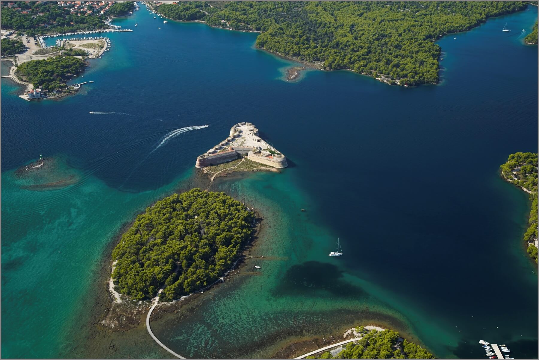 St Anthony's channel, St Nicholas Fortress and the cycle and walking path that reaches it via an island © Šibenik Tourist Board
In the evenings, during their rest time, active Šibenik's guests have the city's best hotels, restaurants and charming Old Town almost to themselves. They share the cafe, bar and restaurant terraces only with Šibenik residents, relaxing once more now the city is returned to them.
Key to Šibenik's year-round appeal for fitness and sport fans is the city's unique landscape. No place in Croatia has natural assets like Šibenik. It is surrounded on all sides by a remarkable and startlingly varied topography.
Firstly, between Šibenik city harbour and the open Adriatic is a long waterway – St. Anthony's Channel. It is bordered on either side by two huge stretches of wild nature. Then, at the rear of the town, elevated up from sea level and next to Barone Fortress, the area of Šubićevac. Here, the entrance to the vast Šubićevac Forest Park, much of it an untamed, natural landscape. Thirdly, the vast Krka National Park, which lies just 10 kilometres north-east of Šibenik
Active Šibenik: St Anthony's Channel
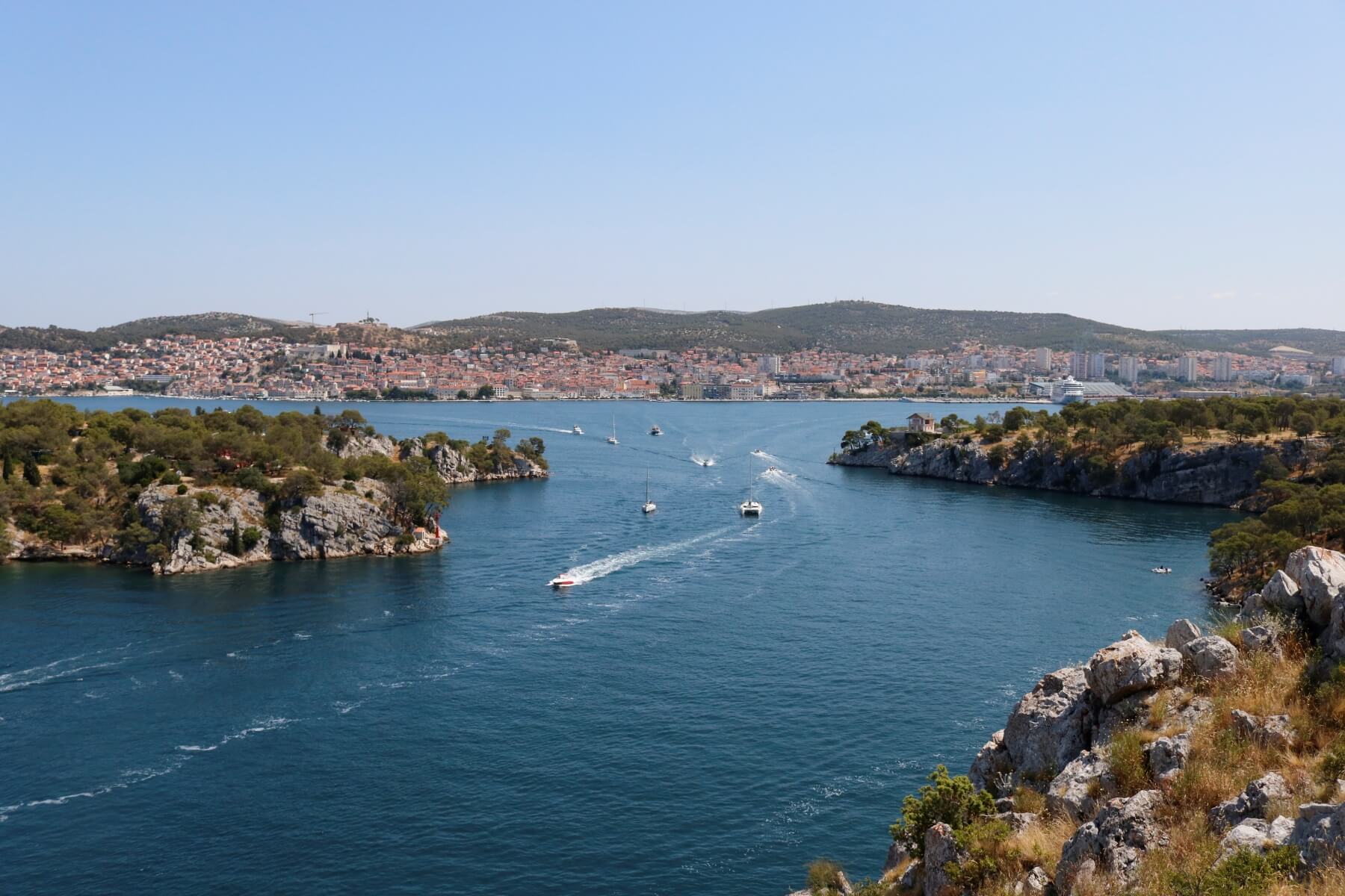
An epic 2000 metre long waterway, St Anthony's Channel is both a gateway to the open sea and the entrance to the city for anyone sailing into Šibenik. It is 140 – 220 metres wide and is bordered on each side by near untouched Dalmatian nature. On one side, sheer cliffs for one wall of the channel. At the top, dense pine forests, walking, hiking and cycling trails. Also, the famous recreation site of Martinska.
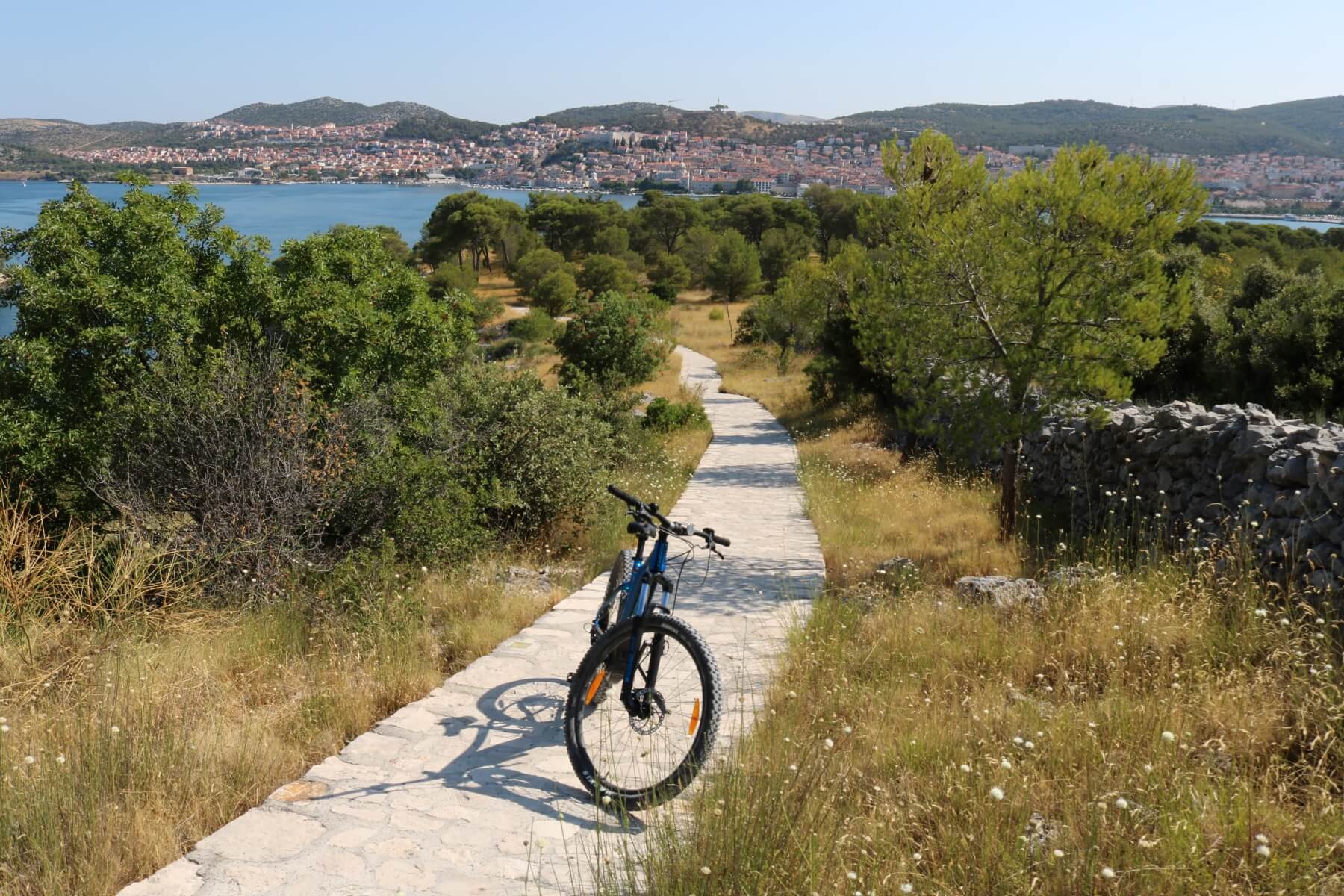
On the opposite side of the channel, a very different layout of the land. Here, the pines are much lower and closer to the channel. Between the two, idyllic beaches - the best in Šibenik – line a pathway designated for running, walking and cycling. Those on bicycles drop down from small hills on the interior. After following the path at the side of the water, their ultimate reward is the spectacular St Nicholas' Fortress. On both sides of St Anthony's Channel you'll see incredible views of Šibenik, its harbour and the side opposite.
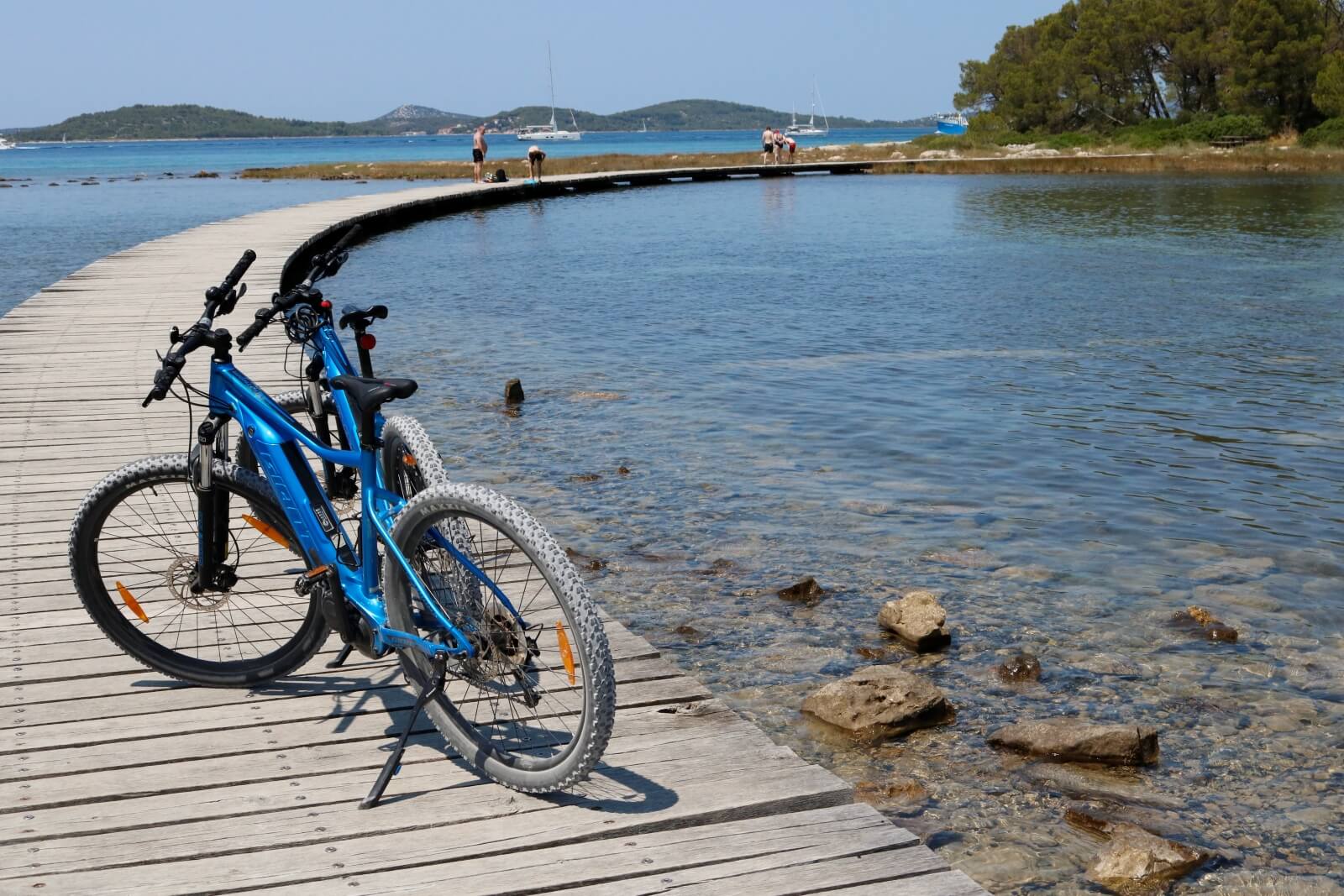
For those who prefer recreation on the water, St Anthony's Channel is perfect to explore by kayak. It's also one of the easiest ways to discover all of Šibenik's best beaches. Sticking close to the pine-sheltered coast, beautiful sailboats pass you in the centre of the channel, on their way to or from the city.
Active Šibenik: Šubićevac Forest Park
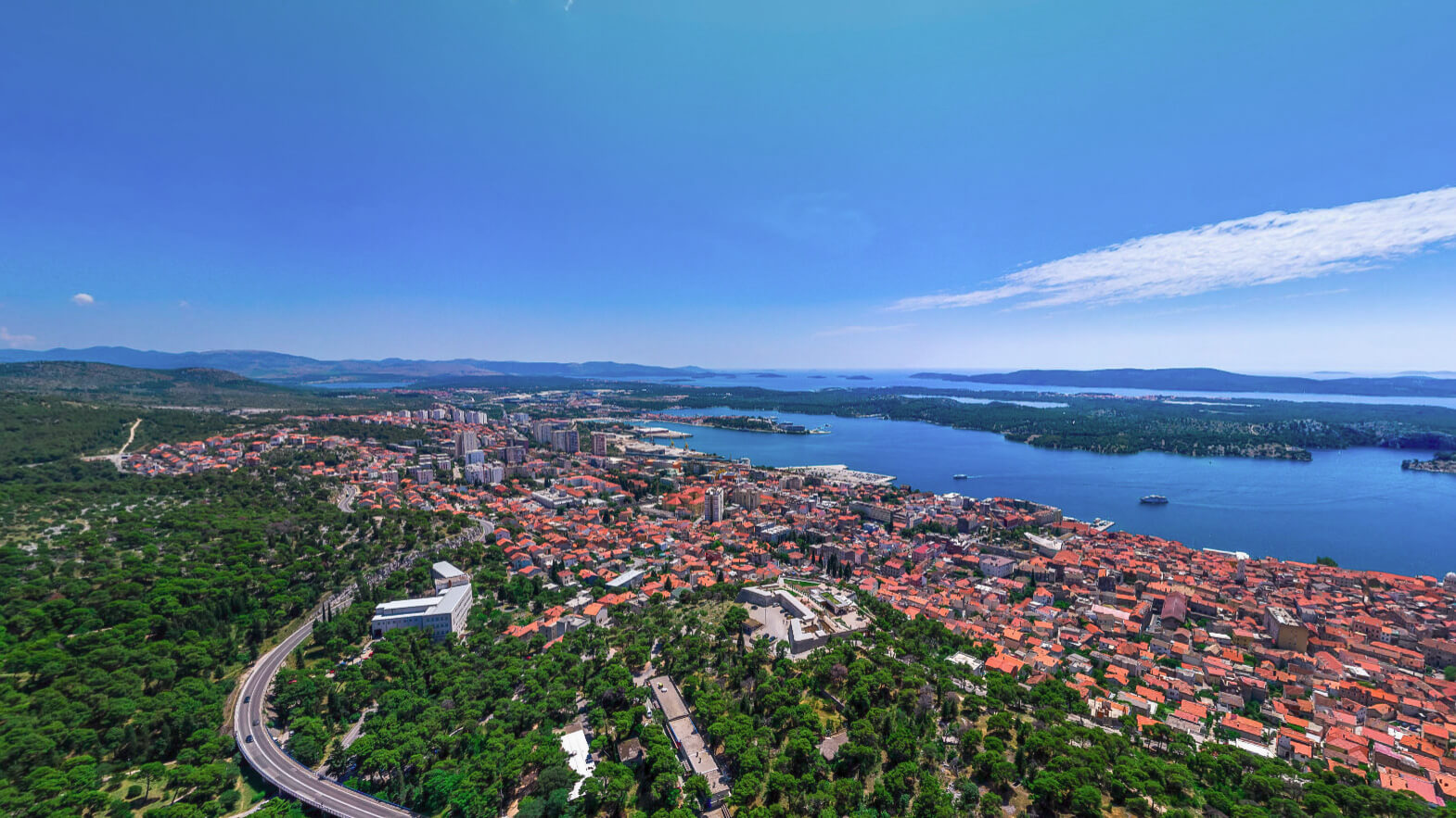 View over Šibenik, with Šubićevac Forest Park at the rear of the city © Šibenik Tourist Board
To visitors, Šubićevac Forest Park is the least famous of all Šibenik's recreational areas. A huge stretch of forestland, much loved by city residents, it rises above the city near Barone Fortress. The section of forest closest to the Šubićevac is designated as a city park. Within this part, you'll find a children's playground, specially designed to be accessible to all, including children with special needs.
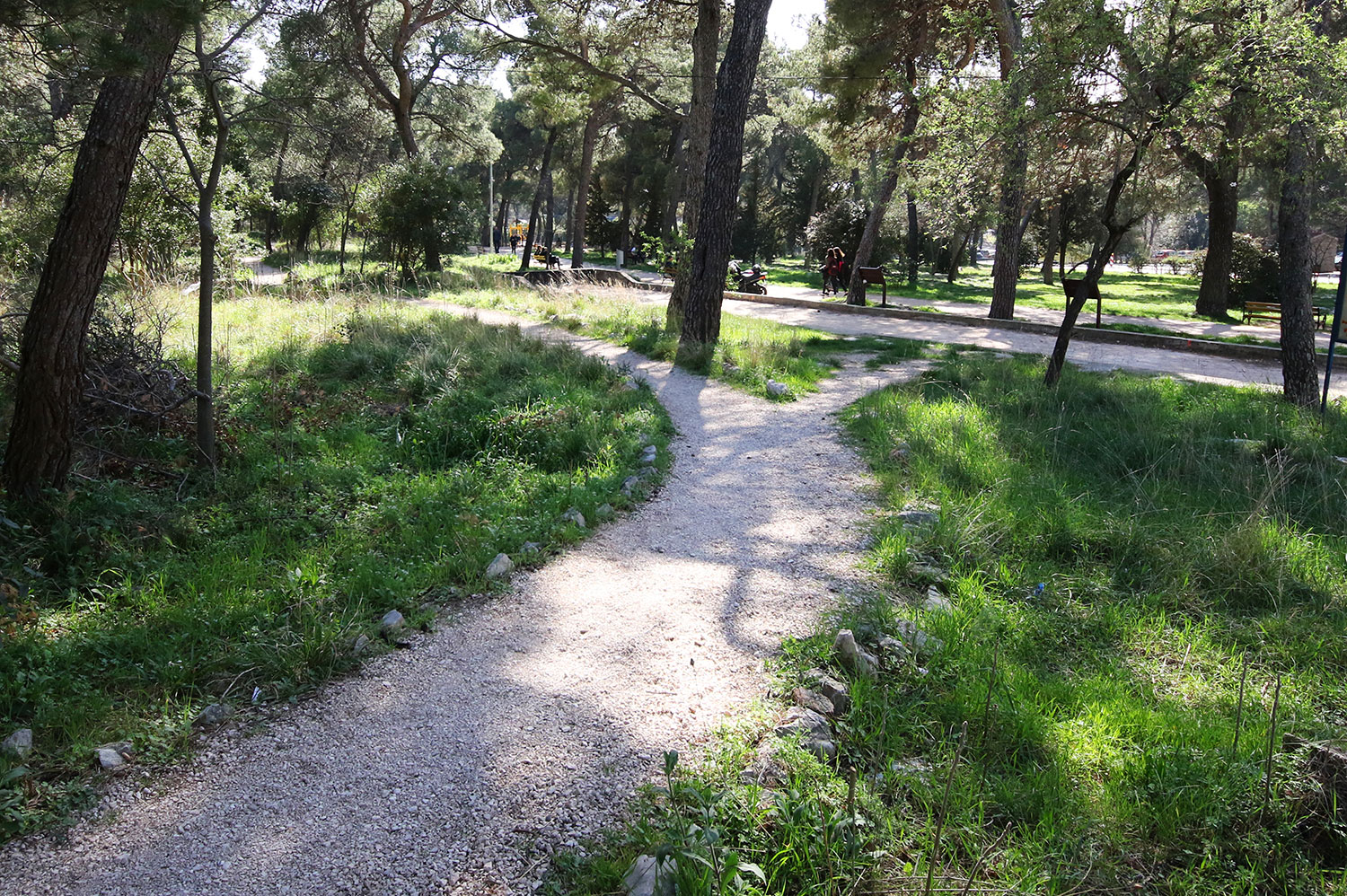 Easily accessible section of Šubićevac Forest Park © Javna ustanova Športski objekti Šibenik
Throughout this section, designated paths for cycling and walking. Running to the southeast, a much larger area of near untouched forest. Here, a wilderness ripe for runners or hikers to explore. It's worth seeking out the tiny Church of St Michael here.
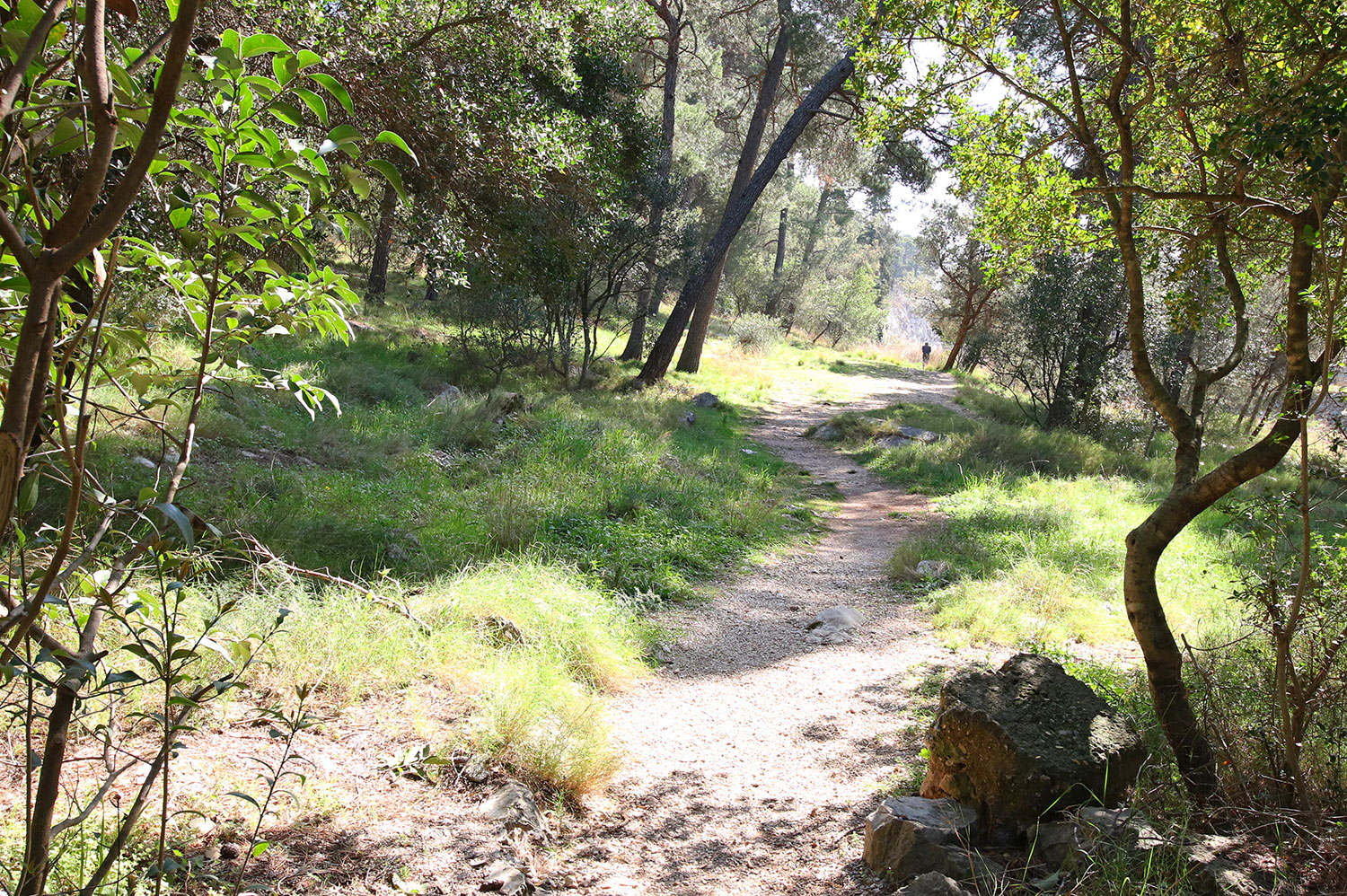 Paths through forest wilderness © Javna ustanova Športski objekti Šibenik
Residents say the very best views of Šibenik come from Šubićevac Forest Park. Certainly, they are breathtaking.
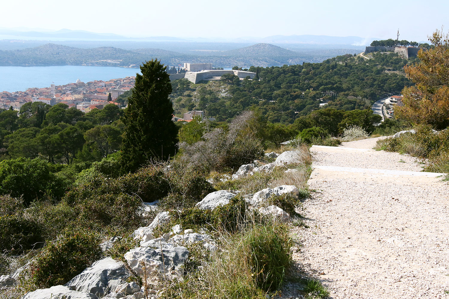 The best views over the city? It's a tough one to call - Šibenik has many contenders © Javna ustanova Športski objekti Šibenik
Active Šibenik: Krka National Park
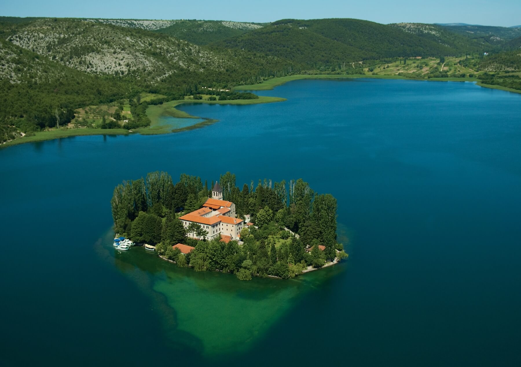 Island in Krka National Park © Šibenik Tourist Board
A series of wide pools, fed by cascading waterfalls, Krka is one of Croatia’s best known and most spectacular National Parks. Famous water features like the unforgettable Skradinski Buk dominate the park's postcard images. You'll find it near the park's most southerly entrance, very close to Šibenik. But, beyond this eye-catching introduction lies a further 109 square kilometers of spectacular National Park to discover. The best way to experience it is by walking, hiking or cycling.
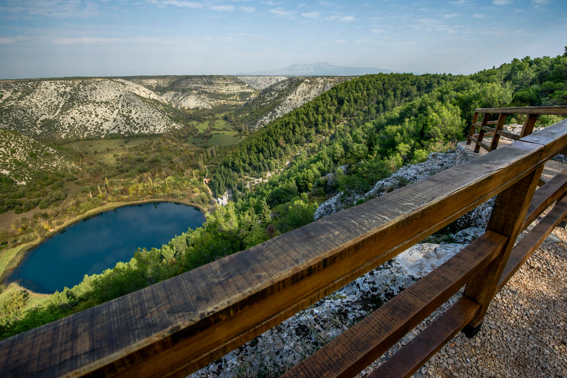 Countless captivating viewpoints © Krka National Park
Hiking and walking trails of Krka National Park
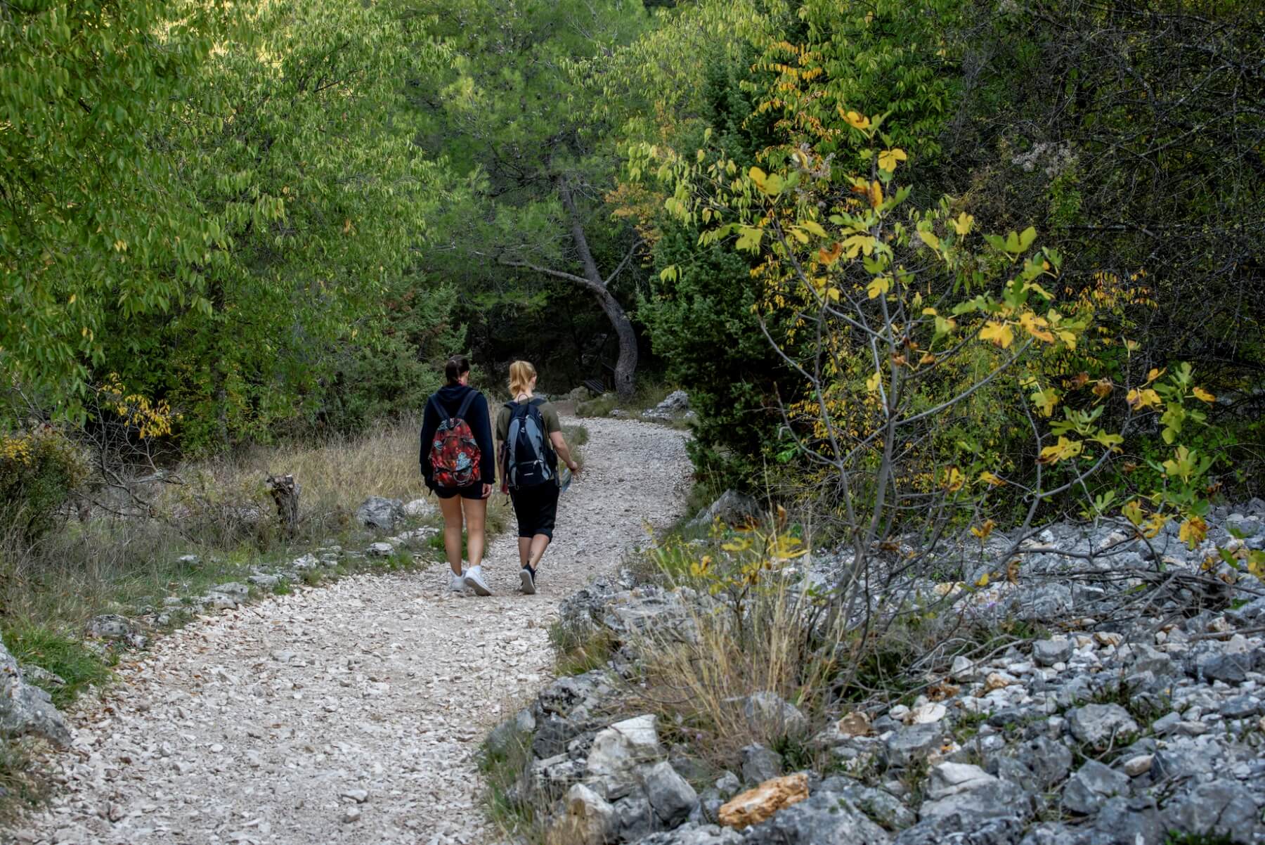 Walking and hiking trails © Krka National Park
The park's hiking and walking trails give you the most thrilling views of this epic landscape and its wealth of flora and fauna. At the side of the trails, educational panels detailing the plants and animals you pass.
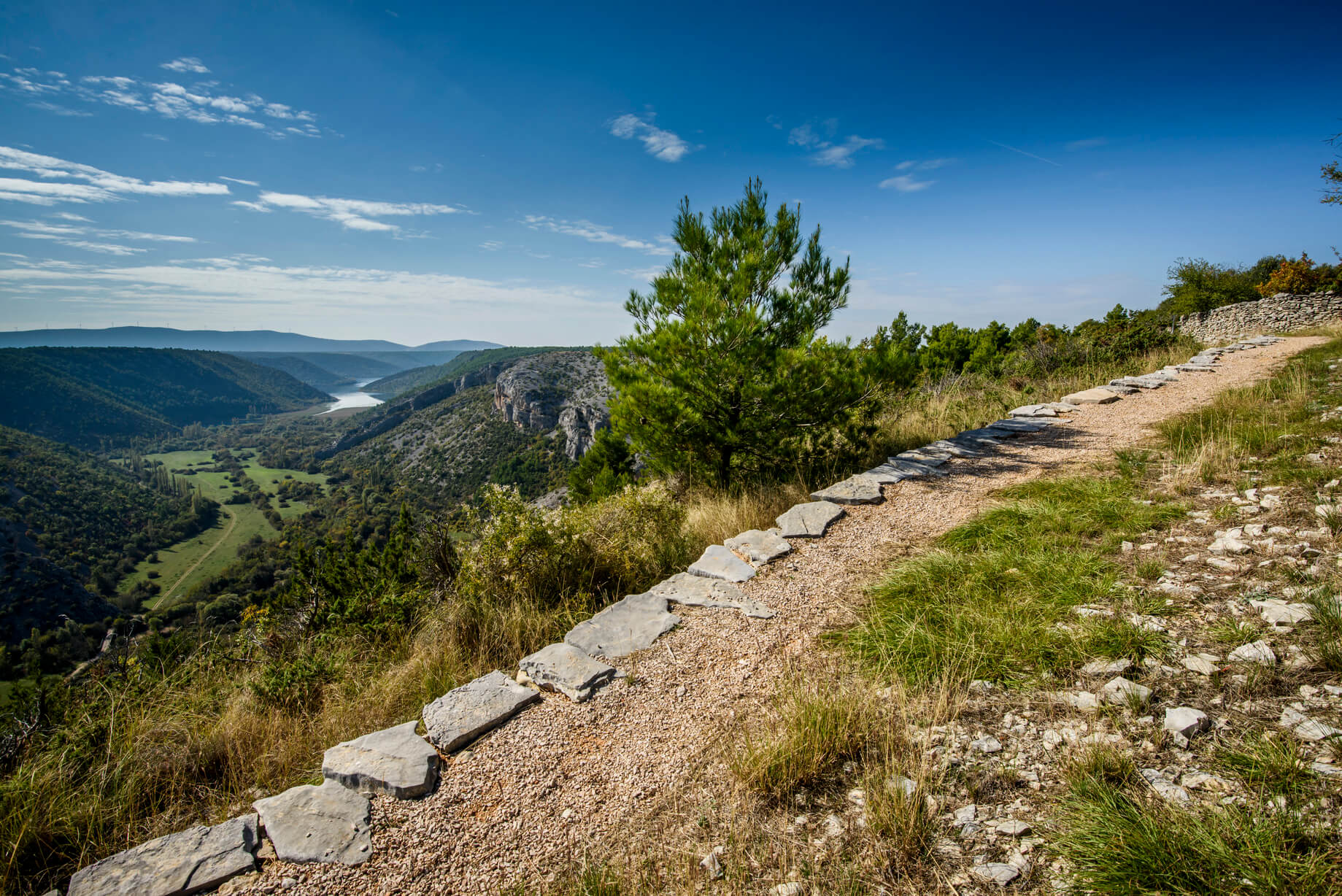 Epic landscape © Krka National Park
There are three circular trails: Skradinski buk (1900 m), Roški Slap (1360 m) and Krka Monastery (2100 m). A walking/cycling trail also leads to Skradinski buk from the Skradin bridge (3400 m), while from Lozovac, it is possible to take a forest trail (875 m) down to the park's longest waterfall.
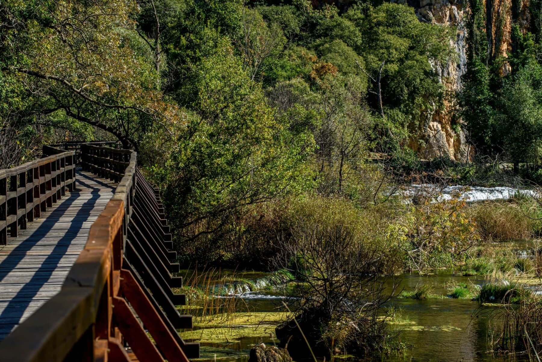 Walking over waterfalls © Krka National Park
The shortest trail is 300 m long and leads to Bilušića buk, while the longest trail is Stinice-Roški slap-Oziđana pećina and covers 8.5 kilometres. In total, there are 7 spectacular waterfalls to find as the river Krka descends through the park.
Cycling routes of Krka National Park
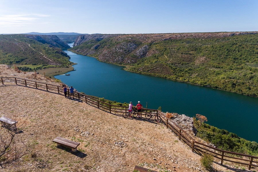 Breathtaking views on the cycling and walking routes © Krka National Park
Bicycling through Krka National Park is a journey of endless enjoyment. If your perfect cycling route offers stunning landscapes, then this is the place for you. But, if you're curious to learn about the park's cultural and historical heritage, then cycling also helps you unlock these park secrets.
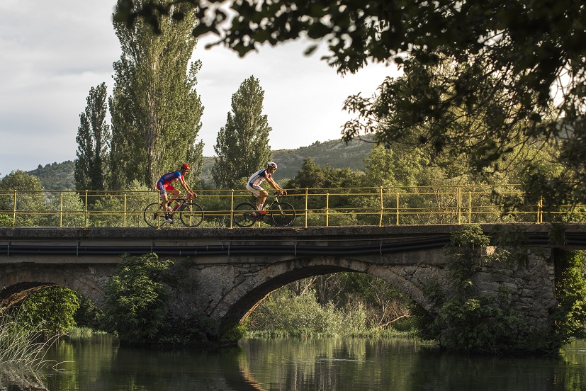 Cycling © Krka National Park
No less than fourteen cycling routes crisscross the park. They are divided into three types:
Road route - perfect for racing bikes and dedicated cyclists
Trekking & family route - a mixture of paved roads and gravel paths, perfect for city bikes, mountain bikes, families with children and cyclists of any age and ability.
Mountain biking route – a mixture of gravel paths and unarranged forest paths, with sharp ascents and descents, designed for mountain bike enthusiasts in good physical condition and with advanced cycling skills.
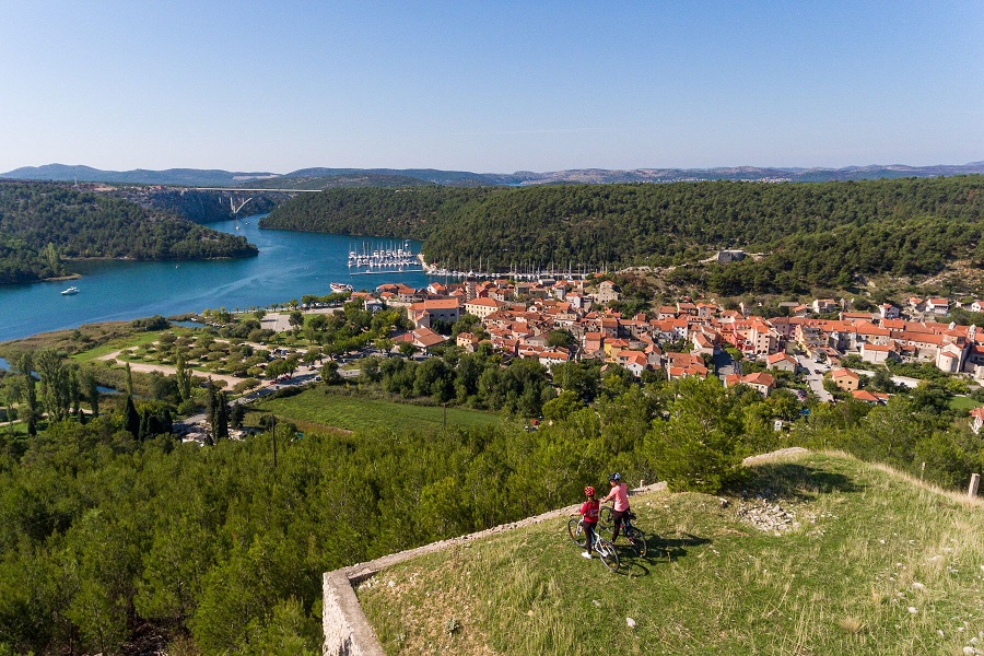 Cycling above Skradin © Krka National Park
Šibenik zipline
On the northeast corner of the park, stretching across an epic canyon, one of Croatia's most thrilling ziplines. Flying from cliffs hundreds of metres above, so vast is the canyon that you can barely see the thrillseekers at the end of the first line. And, after that, there are still another two to go!
For more information and/or booking any of these activities, visit/contact Šibenik Tourist Board here
For more on great things to do in Šibenik, be sure to check Total Croatia News's dedicated pages here
Via Brattia Tourist Trail Launched on the Island of Brač
August 18, 2021 - The island of Brač has launched its new and highly anticipated tourism product: Via Brattia, a circular hiking and cycling route that runs around the island, attracting both expert and amateur athletes with a passion for exploring.
It lasted, it was carefully prepared, but now that it has finally started life, only one thing can be said: Via Brattia, the circular tourist hiking trail of the island of Brač has opened the island's beauties to lovers of active holidays, as well as those who plan to become one soon.
As reported by HrTurizam, after two years of joint work of all Brač tourist boards, the municipalities of Nerežišća and Pučišća, the Mountaineering Association Profunda, and with the co-financing of the Split-Dalmatia County Tourist Board, a new tourist attraction was "born" which will have its forte especially in the pre and postseason.
Via Brattia with its 140 kilometers in length has connected the island, its many exceptional locations, and a large number of small towns and local attractions. The trail is intended for lovers of hiking, running, walking in nature, mountain biking, it is suitable for recreationists and amateurs, but also for all those who want to get to know Brač and its unusual beauties in a different way. The trail has marked markings in both directions and can be joined at any point the trail passes.
You will be guided to all locations by a map and blue and white markers, and in order to make each section even more attractive, visitors will ‘celebrate’ with a stamp. 12 conquered seals, at the end of the road, will create a picture, the coat of arms of the island of Brac, and in it the figure of St. George the patron saint of this island in the scene of the killing of the dragon.
“With the support of all local self-government units of the island of Brač and the Tourist Board of the Split-Dalmatia County, this island trail is a joint project of all tourist boards of our island and the municipalities of Pučišća and Nerežišća. After completing the marking and printing of the map, Brač finally got a long-dreamed, beautiful hiking-tourist trail. Movement, learning, and content are new tourist trends that enrich travelers with invaluable experience, and the sun and the sea are just a bonus in this story", said Ive Cvitanic, director of the Supetar Tourist Board, where Via Brattia begins and ends.
“Via Brattia is an excellent tourist product and a new trump card of Brač tourism, but also of tourism in Central Dalmatia. The Split-Dalmatia County Tourist Board has been investing in active tourism projects for years. This type of offer is based on the accelerated expansion, connection, and construction of new hiking and biking trails, climbing areas, and other infrastructure needed for outdoor sports, which are already practiced by more and more people, and with pandemics and closures, the number of guests going to nature is much higher. (...) Within our financial possibilities and marketing activities, we will provide maximum support to the project”, said Joško Stella, director of the Split-Dalmatia Tourist Board. Via Brattia tells the amazing story of Brač and combines many tourist attractions of the island into one whole.
It is interesting how our sea destinations are increasingly turning to outdoor facilities, after Camina Krk, then Camina Imota, Life on Mars on Pag, Istria bike trails, now Via Brattia concept of cycling, hiking, or hiking routes that connect interesting tourist attractions of the entire destination with the cooperation of all tourism stakeholders. A concept that is a win-win for all and that is the future. but it also leads to the ultimate goal, ie the extension of the tourist season and sustainable tourism. The sun and the sea have long been insufficient for the serious development of tourism that is not dependent on seasonality. We are especially looking forward to cooperation in the field and connecting tourism stakeholders and creating joint tourism products that brand and raise the quality of the entire destination.
To learn more about the island of Brac and all the treasures it holds, visit the Total Croatia guide for the best tips and advice for your next trip. Available in your language!
For more, make sure to check out our dedicated travel section.


