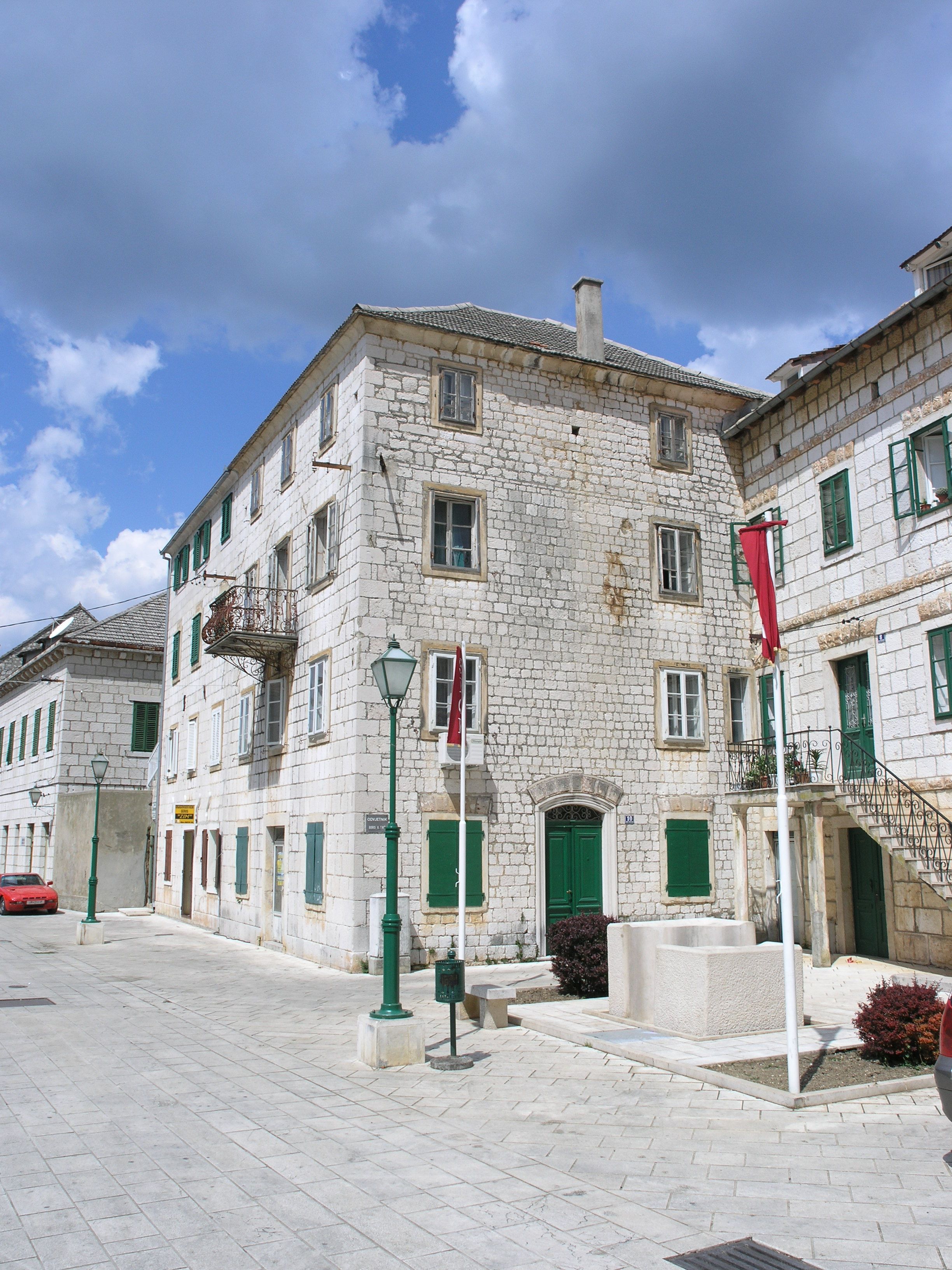
 Imotski is situated on the slopes of Podi hill just above the Imotski plane. The oldest traces of life in the wider surroundings of the town originate from prehistory with some findings from classical era. On the cliff overlooking the Blue Lake, the strong fortress Topana was built in early medieval age. In 10th century, it was the centre of one of eleven counties in the Croatian kingdom. In late 15th century, the fortress was conquered by Osman Empire. During their reign, Imotski has become important administrative centre, which is recorded in the verses of popular folk epic Asanaginica. After it was liberated from Ottoman Empire in 1717, the town has started to be formed over the time from scattered houses around the fortress. The town development was accelerated in late 19th and early 20th century. In mid-20th century Imotski has added industrial role to its administrative and trade roleS, and in recent times citizens started to hope for Imotski to become tourist centre thanks to its cultural heritage and natural beauties - Blue and Red Lake.
 Area: 73 km2
Population 2011
- City: 33.253
- Urban: 10.213
Elevation: 300 m / 1.000 ft
Tourist Board:
- +385/21/ 842 221 :: +385/98/ 433 341
- This email address is being protected from spambots. You need JavaScript enabled to view it.
City suburbs:
Donji Vinjani, Glavina Donja, Glavina Gornja, Gornji Vinjani, Imotski, Medvidovića Draga